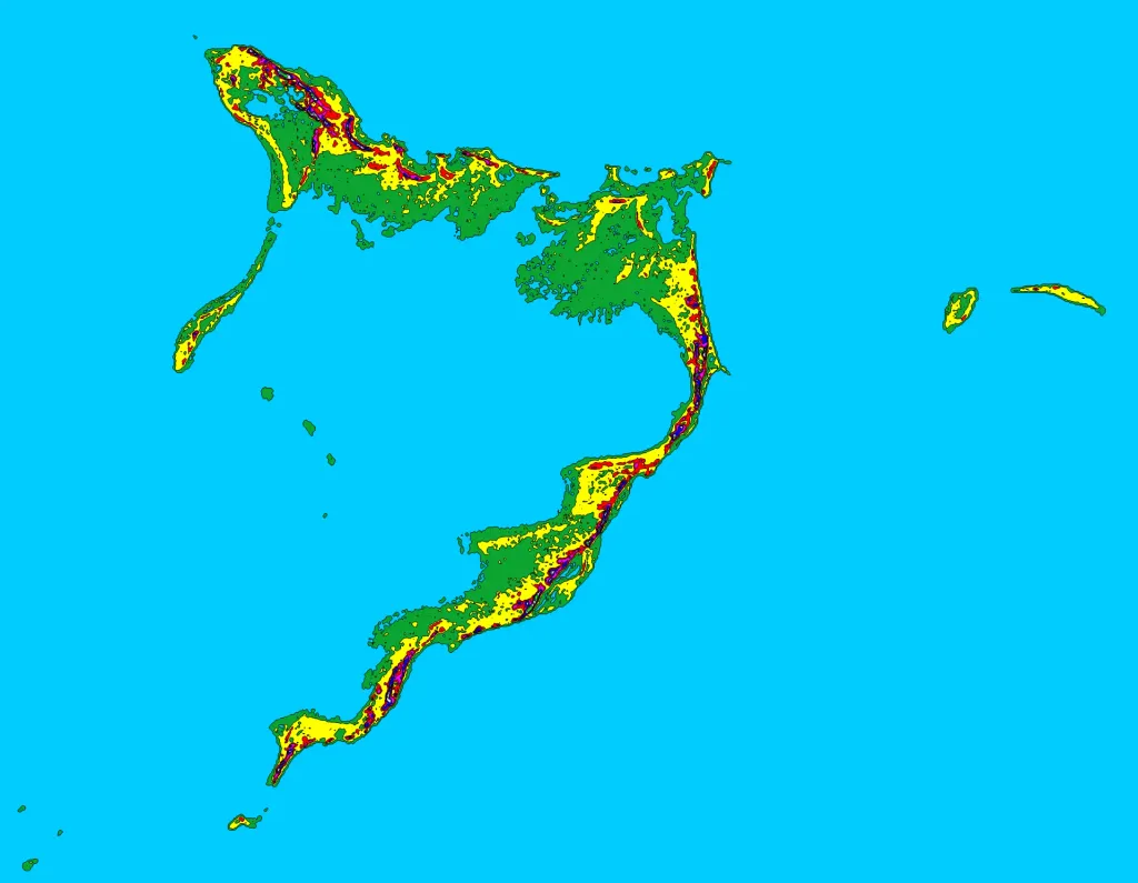
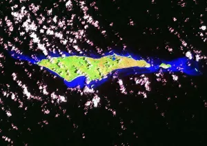
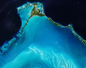
Topographic map of Acklins Island, Crooked Island, and Long Cay in the Bahamas shaded at 15 foot (4.572 meter) contour intervals. MAP KEY Light Blue: 0 ft (0.0 m) Green: 0-15 ft (0.0-4.6 m) Yellow: 15-30 ft (4.6-9.1 m) Red: 30-45 ft (9.1-13.7 m) Violet: 45-60 ft (13.7-18.3 m) Blue: 60-75 ft (18.3-22.9 m) White: 75-90 ft (22.9-27.4 m) Light Green: 90+ ft (27.4+ m) Map created with SRTM3 digital elevation data (http://dds.cr.usgs.gov/srtm/version2_1/SRTM3/). Resolution is ~90 meters.
Author: Lithium6ion, License: Public domain
·
Source
La registration est actuellement uniquement possible avec un code d'invitation. Veuillez entrer votre code d'invitation ou utiliser votre lien d'invitation personnel. Si vous n'avez pas de code, vous pouvez en demander un auprès de nous.
 alpha
NOW FEDERATED!