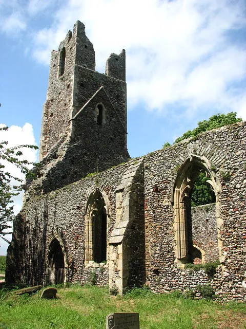
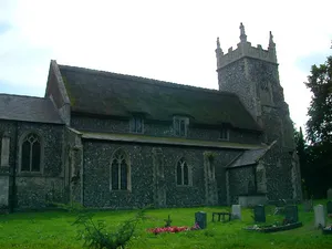
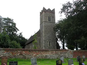
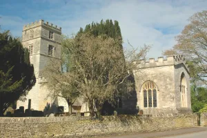
The church of St Peter & St Paul - the ruined tower See also > 820655 In Roman times the River Bure flowed into a large estuary extending from Acle to present-day Great Yarmouth; Faden's 1797 map of Norfolk shows the then coastal villages of Tunstall, Halvergate and Wickhampton on a spur of higher ground that was surrounded by Moulton Bog (west), Acle Wet Common (north) and the Halvergate Marshes (east). According to old records the church had fallen into disrepair by 1704; the chancel arch was bricked up in 1705 and a plaque above the doorway into the chancel informs that it was rebuilt by Mrs Elizabeth Jenkinson > https://www.geograph.org.uk/photo/820711. More repairs were carried out in 1853. In 1980 the church was declared redundant and a Trust was formed to help repair and maintain what remains of the church: the chancel is still intact and visitors are welcome. For more information see: http://www.norfolkchurches.co.uk/tunstall/tunstall.htm
Author: Evelyn Simak, License: CC BY-SA 2.0
· Source
Registration is currently only possible with an invite code. Please enter your invite code or use your personal invite link. If you don't have a code, you can request one from us.

 alpha
NOW FEDERATED!
alpha
NOW FEDERATED!