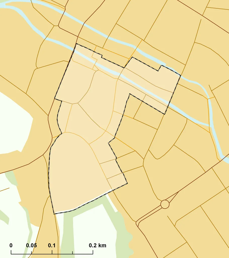
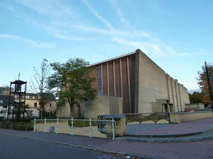
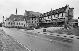
Rijksbeschermd stads- of dorpsgezicht - Valkenburg.png
Author: Map data (c) OpenStreetMap contributors, CC-BY-SA &Protected area boundaries (stads- en dorpsgezichten) Rijksdienst voor het Cultureel Erfgoed, Jan. 2012 • Shape files infrastructure and nature (railway, roads, water, forest): all originally by OpenStreetMap contributors. Status december 2011 • Protected area boundaries: derived via cultureelerfgoed.nl & kich. Unrestricted use, status 2012 • Additional data for landuse: OSM / Corine land cover, 2006 (eea.europa.eu) • Mentioned sources co, License: CC BY 2.0
·
Source
Registration is currently only possible with an invite code. Please enter your invite code or use your personal invite link. If you don't have a code, you can request one from us.
 alpha
NOW FEDERATED!
alpha
NOW FEDERATED!