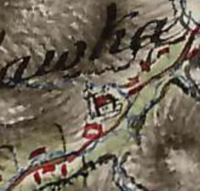
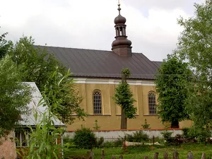
Cerkiew św. Jana Ewangelisty w Borysławce na mapie topograficznej Friedricha von Miega, koniec XVIII w.
Author: Military survey Habsburg Empire, License: Public domain
·
Source
Registration is currently only possible with an invite code. Please enter your invite code or use your personal invite link. If you don't have a code, you can request one from us.
 alpha
NOW FEDERATED!
alpha
NOW FEDERATED!