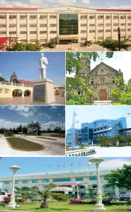
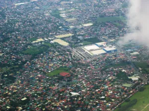
Welcome markers & Signs (including the San Pedro Chicken or Rooster Statue as symbol of the City) - Provincial Boundary of Laguna --- San Pedro, Laguna [1] San Pedro City, or officially known as the City of San Pedro and Metropolitan Manila (Barangay Tunasan, Muntinlupa City) Bridge - Muntinlupa / San Pedro Boundary Coordinates: 14°22'8"N 121°3'0"E Philippines / Southern Tagalog / San Pedro / Barangay Tunasan, Muntinlupa [2]Muntinlupa [3] The City of Muntinlupa[2] (Filipino: Lungsod ng Muntinlupa) is the southernmost city in Philippine National Capital Region. National Road - Pan-Philippine Highway.[4]
Author: Ramon FVelasquez, License: CC BY-SA 3.0
· Source
Registration is currently only possible with an invite code. Please enter your invite code or use your personal invite link. If you don't have a code, you can request one from us.
 alpha
NOW FEDERATED!
alpha
NOW FEDERATED!
![Welcome markers & Signs (including the San Pedro Chicken or Rooster Statue as symbol of the City) - Provincial Boundary of Laguna --- San Pedro, Laguna [1] San Pedro City, or officially known as the City of San Pedro and Metropolitan Manila (Barangay Tunasan, Muntinlupa City) Bridge - Muntinlupa / San Pedro Boundary Coordinates: 14°22'8"N 121°3'0"E Philippines / Southern Tagalog / San Pedro / Barangay Tunasan, Muntinlupa [2]Muntinlupa [3] The City of Muntinlupa[2] (Filipino: Lungsod ng Muntinlupa) is the southernmost city in Philippine National Capital Region. National Road - Pan-Philippine Highway.[4]](/images/articles/80/l/8036592997474a6d1463ac73f9b78a41.webp)