Envia o link. No chat e no e-mail aparecem o título e a foto do artigo.
https://mostlyharmless.travel/articles/gozo
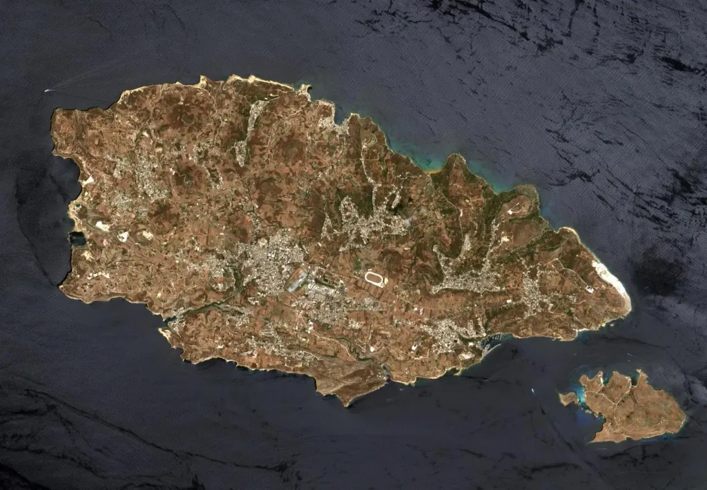
This image of Malta, captured by the Copernicus Sentinel-2B satellite is one of the first set of images delivered via Alphasat, which is in geostationary orbit 36 000 km above Earth. The image is a result of the two satellites using their optical communication instruments to transfer data via laser for fast delivery. This is essential for applications such as helping respond to disasters.
Author: European Space Agency, License: CC BY-SA 3.0 igo
·
Fonte
 alpha
NOW FEDERATED!